Heat Maps
A surface representation of data that occurs at discrete points,
or not
A surface representation of data that occurs at discrete points,
or not
ARC 594/694 Fall
Dr. Timothy Norris - tnorris@miami.edu
Adapted from Field (2017) Cartography. Redlands, ESRI Press. pp. 212-213.
Adapted from Field (2017) Cartography. Redlands, ESRI Press. pp. 212-213.
Heat maps
- Most often density of point based information as surface
- As (kernel) density is based on scale of analysis, visualization may be very misleading
- Common use of "rainbow" color ramp can falsely portray density (color perception)
- Most cartographers do not use this visualization method
- Almost all "heat maps" use "invented" data from interpolation
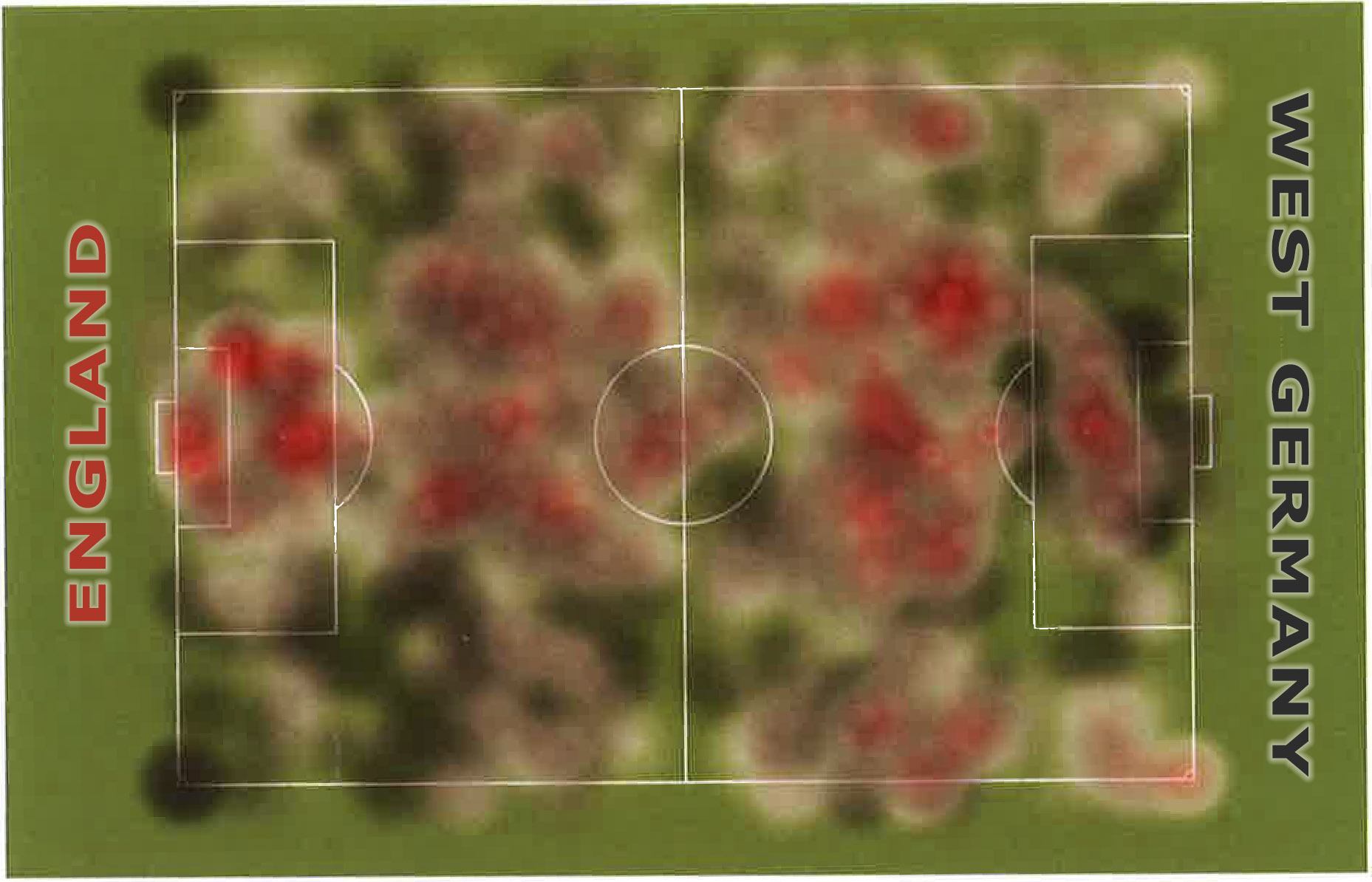
A density surface of ball possession (not a heat map)

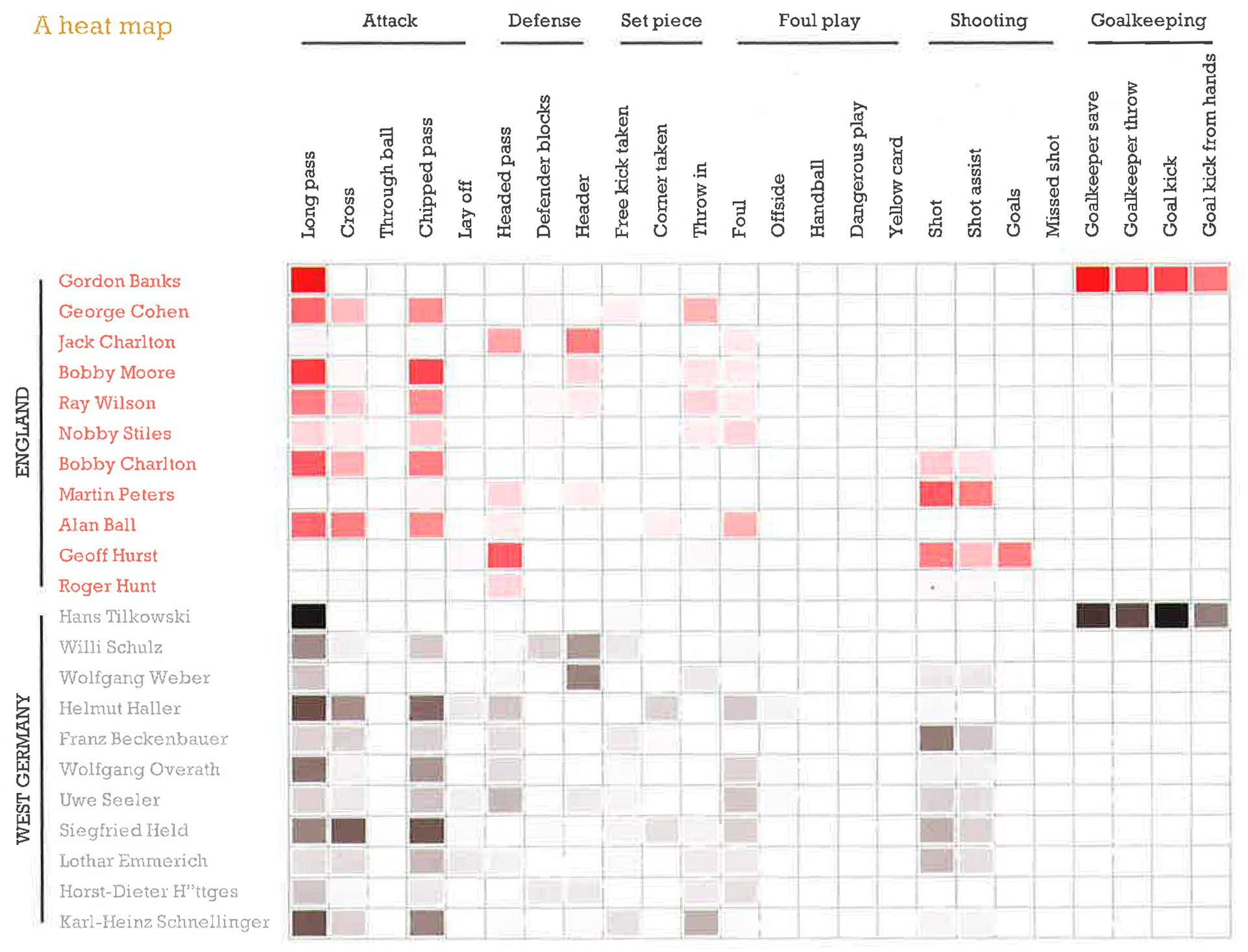
A Heat Map

Look up "heat map" under google images ...
The GDELT Project
Supported by Google Jigsaw, the GDELT Project monitors the world's broadcast, print, and web news from nearly every corner of every country in over 100 languages and identifies the people, locations, organizations, themes, sources, emotions, counts, quotes, images and events driving our global society every second of every day, creating a free open platform for computing on the entire world.
An interactive "heat map":
http://data.gdeltproject.org/analytics_gallery/blog/2014-civilian-conflict.heatmap.html
http://data.gdeltproject.org/analytics_gallery/blog/2014-civilian-conflict.heatmap.html